Smart survey solutions
We love what we do here at M3 Surveys and we’re proud to show you what we have been working on.
Please see some of our most recent projects below.
Saxon Church -
Photogrammetric Model
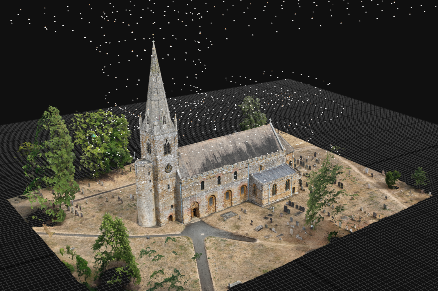
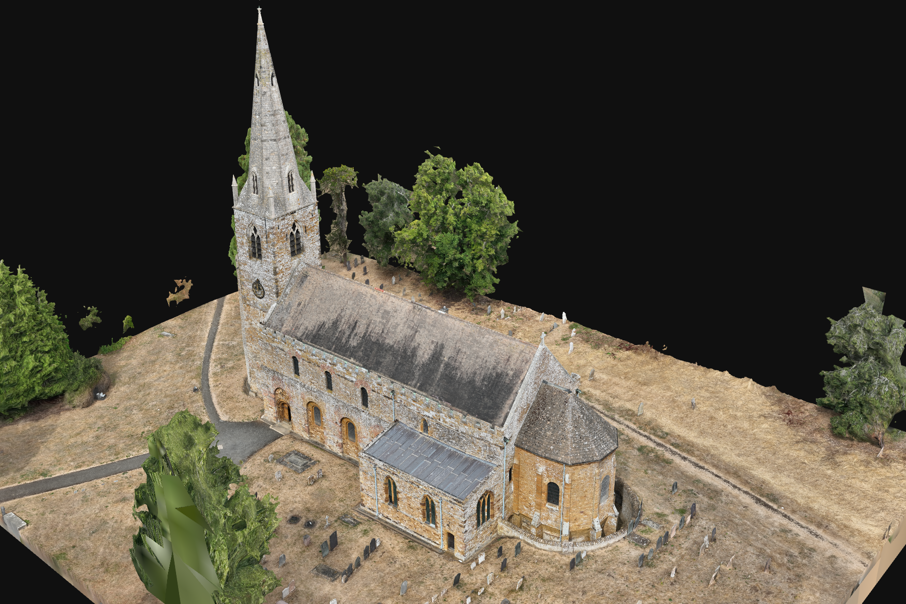
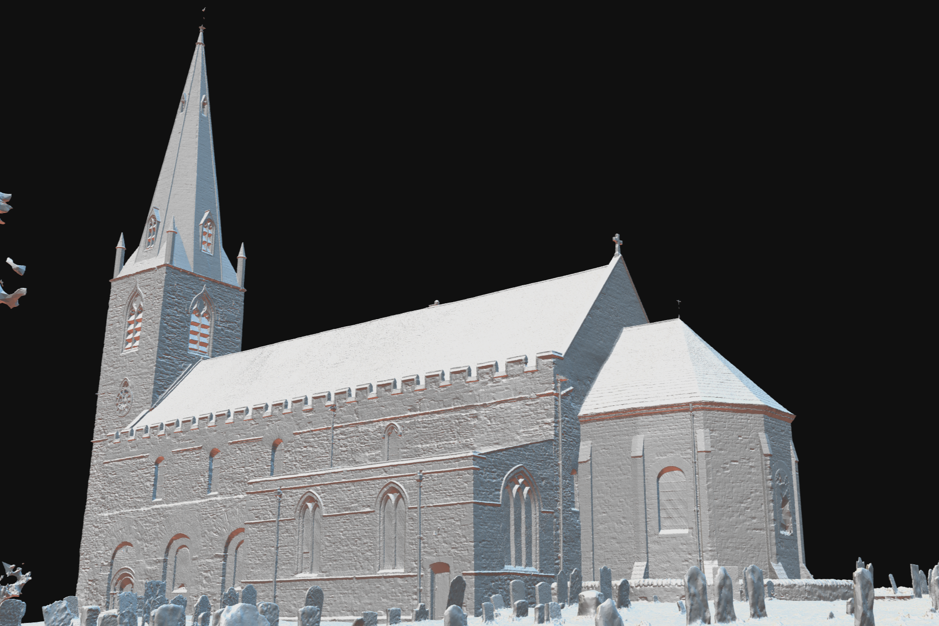
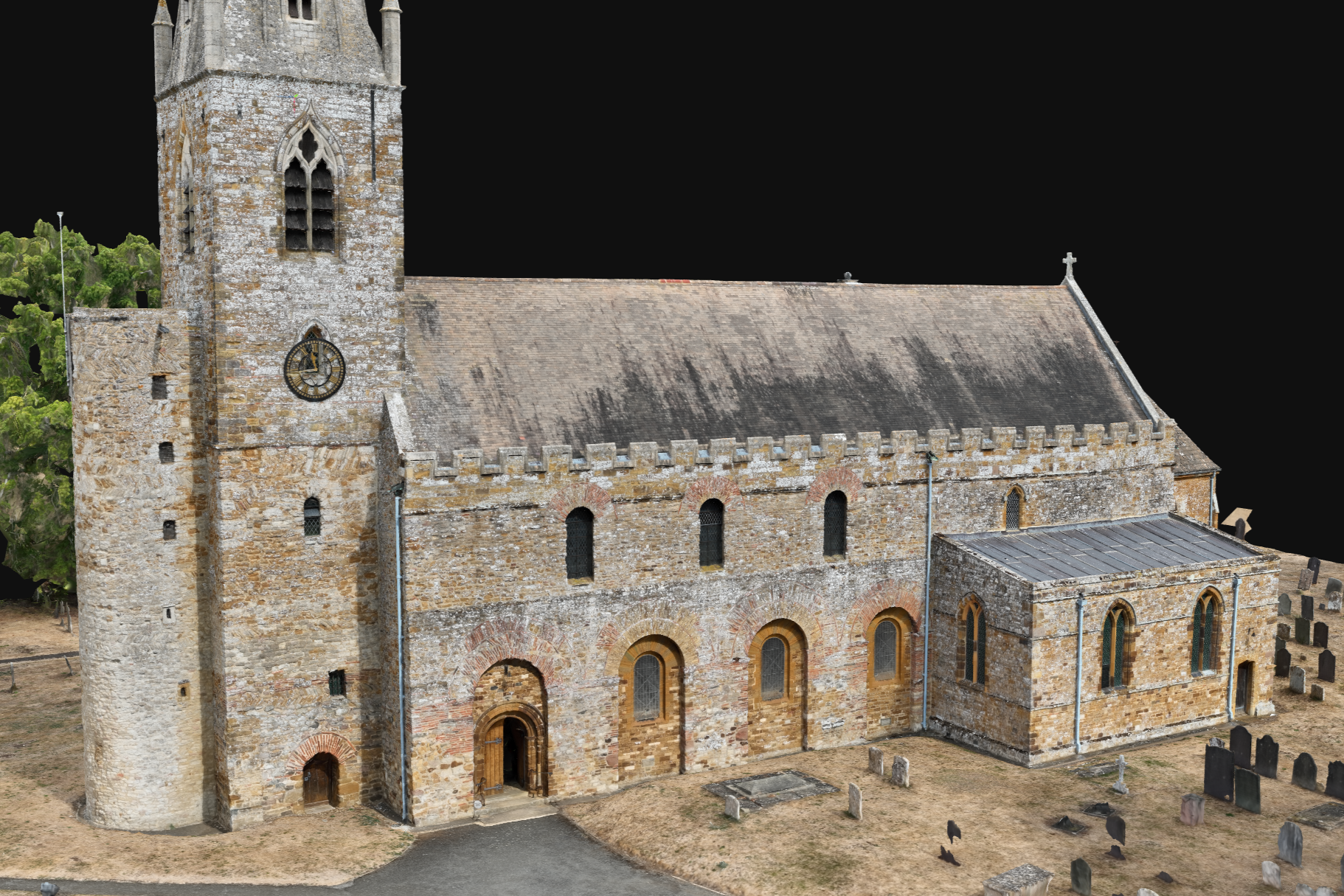
A recent project shown here of a striking heritage building - a leading example of an early Anglo-Saxon church of which we created a highly detailed 3D photogrammetric model.
The model was created by stitching together more than 1000 photographs, all taken with the use of our fleet of DJI Enterprise drones. The small dots on the first image represent the drone locations.
These models have many uses, from forming a record of current condition, to scoping up refurbishment and repair works accurately.
3D Laser Scan -
Heritage Asset
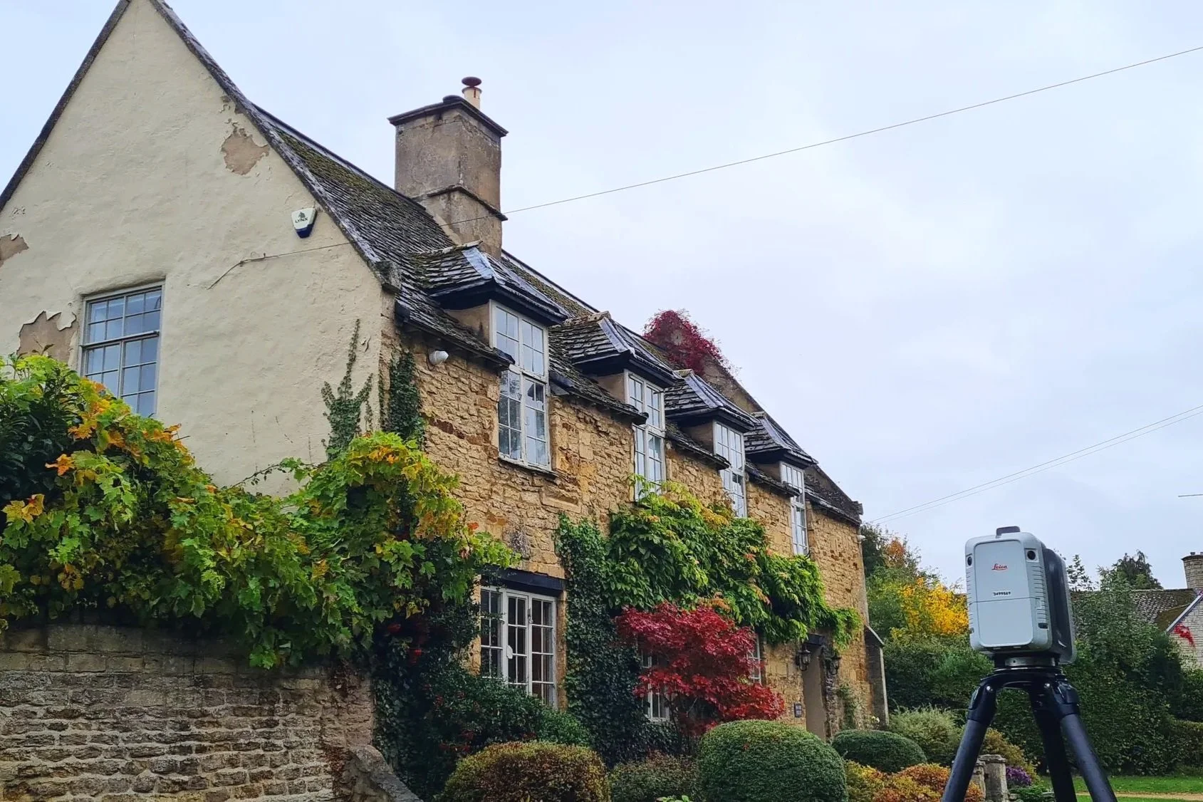
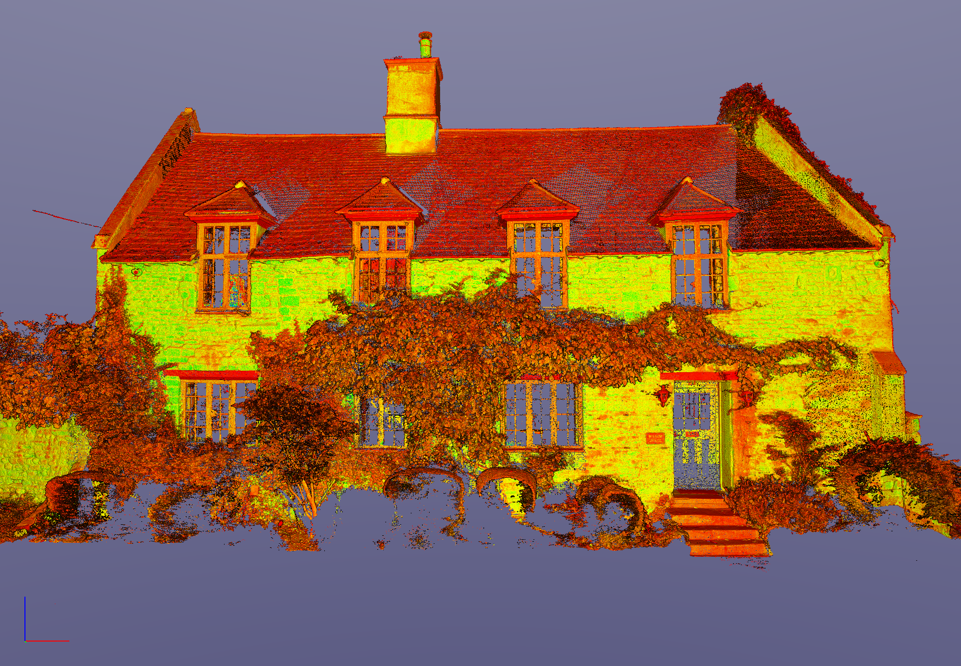
We recently had the privilege of surveying this gorgeous Grade II Listed manor house. The age and construction of the property made it a fascinating challenge, as very little was square or aligned with anything else.
Our 3D laser scanners are the perfect solution for a project such as this, allowing us to accurately record data on site, forming a pointcloud for use during our processing.
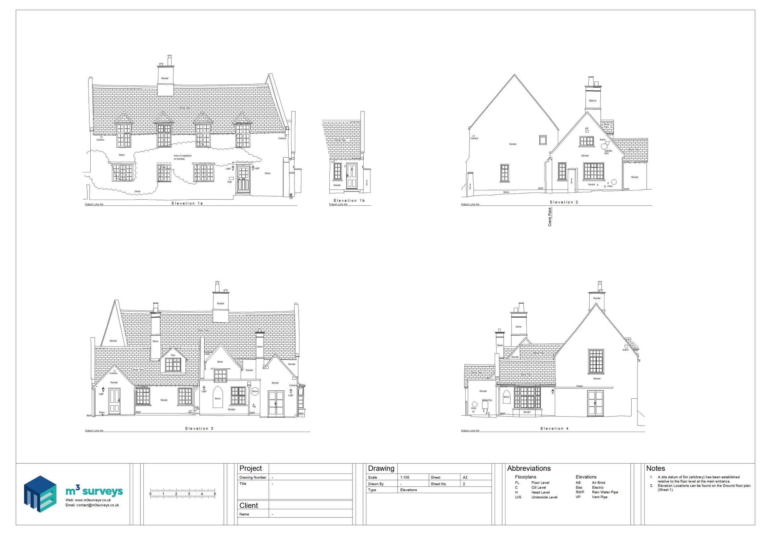
Deliverables for this project included a full set of floorplans and elevations for our client to use in support of Listed Building Consent for restoration works to this beautiful property.
BIM Modelling
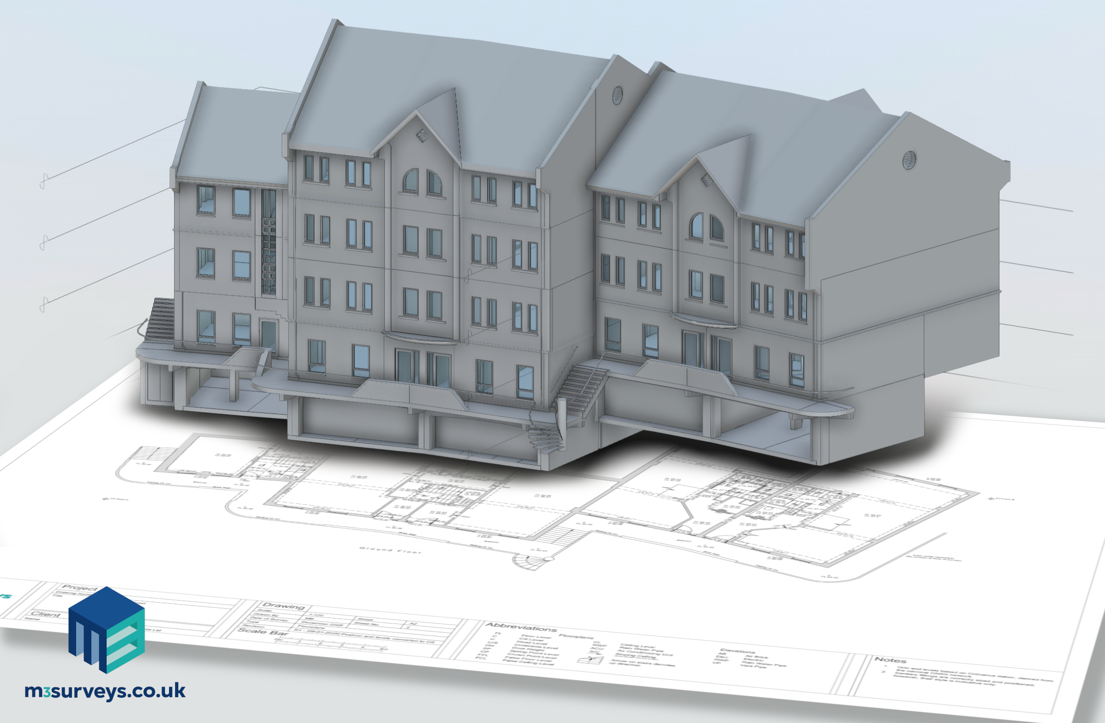
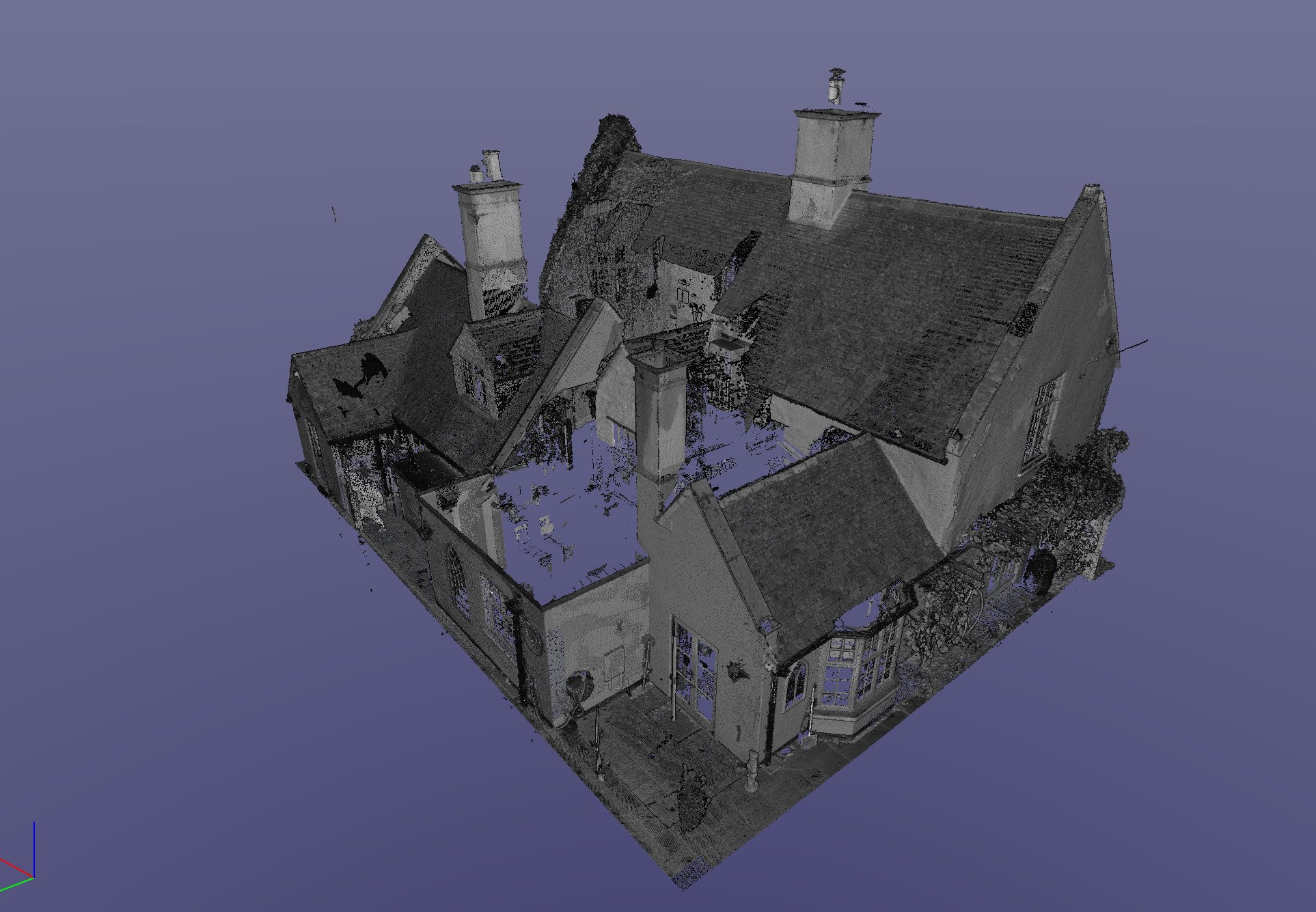
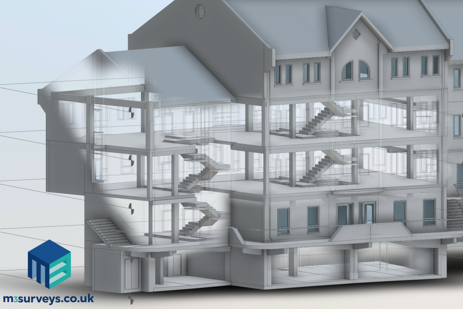
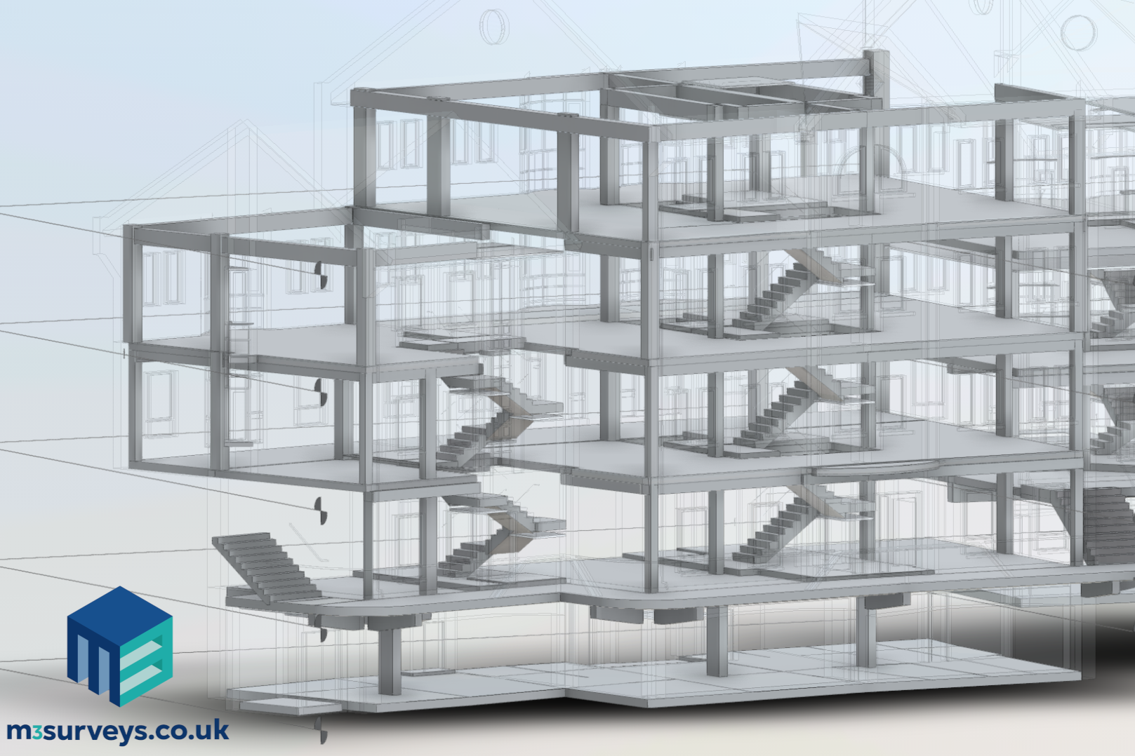
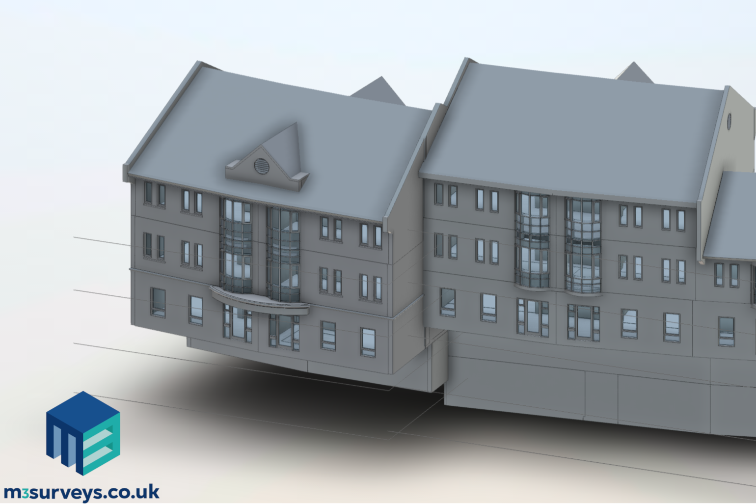
We were instructed to undertake surveys and provide a detailed 3D model in connection with a refurbishment and remodelling project at this building.
These models are particularly valuable for complex buildings to help to avoid clashes throughout the construction stage.
Topographic Survey -
Residential Development
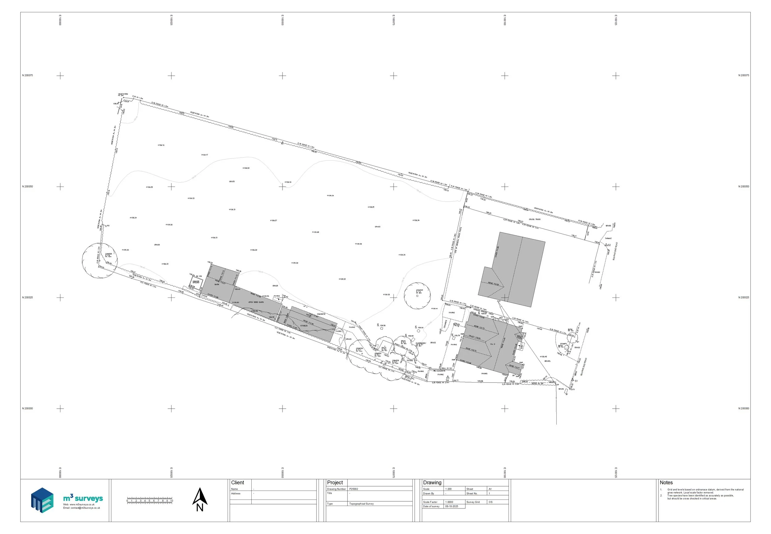
This project showcases a topographical survey we carried out at an existing residential property with a fantastic plot of land to the rear.
The survey provides valuable data for our client and their design team as part of the planned redevelopment proposals for the site.
Deliverables included site survey and full topographical drawings showing all main natural and physical features on the site, and levels across the site.
Residential -
Floor Plans & Elevations
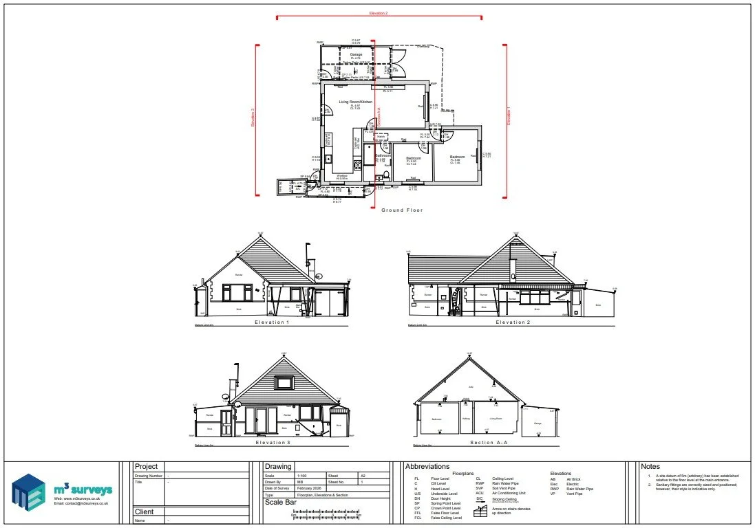
No project too big or too small. We were instructed to undertake a full measured building survey to provide detailed floorplans and elevations for this bungalow, for planning upcoming remodelling and refurbishment works, and in support of the associated planning applications.
An accurate set of plans can de-risk a project from over-spend and programme delays.
Drone Imagery -
Residential Property
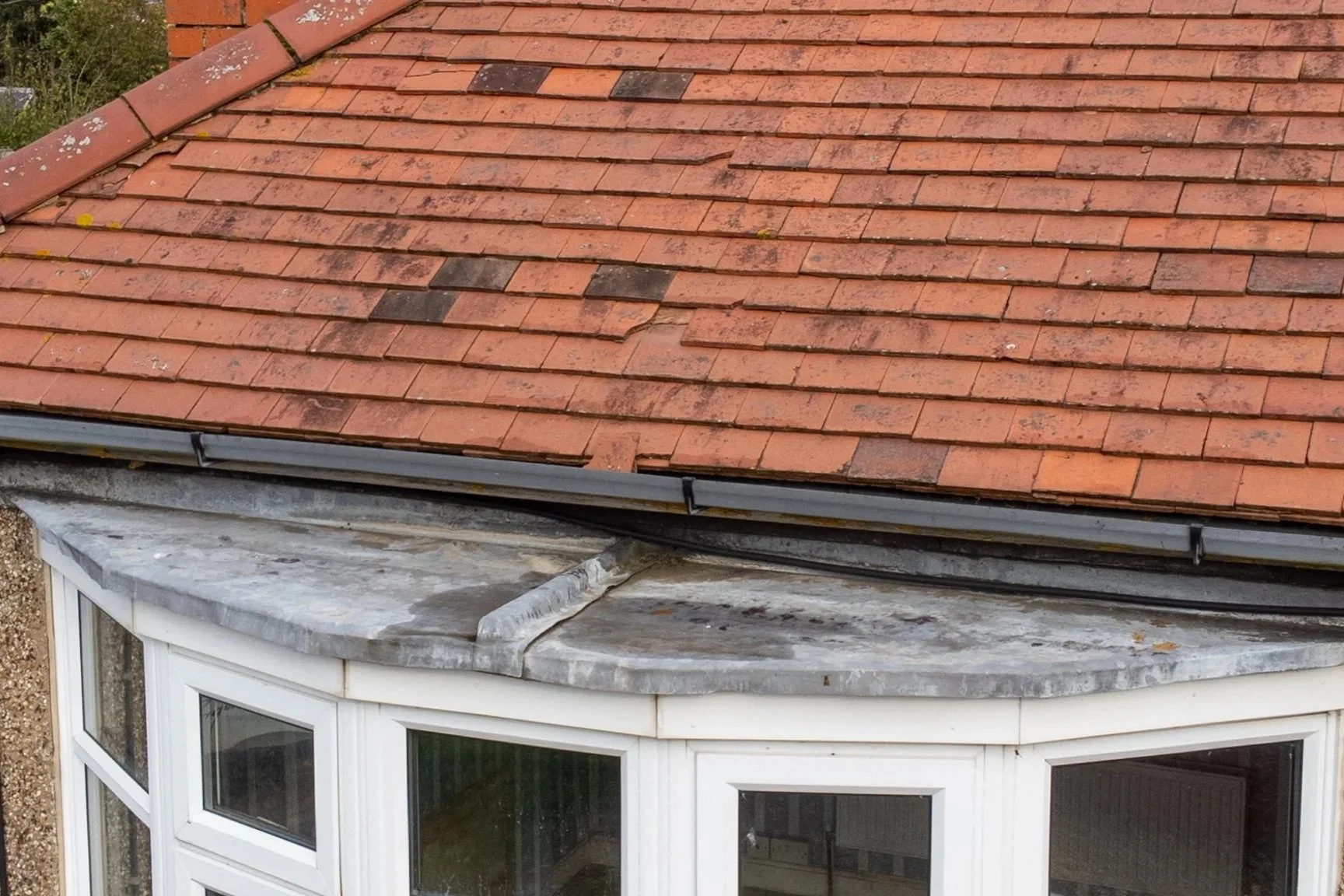
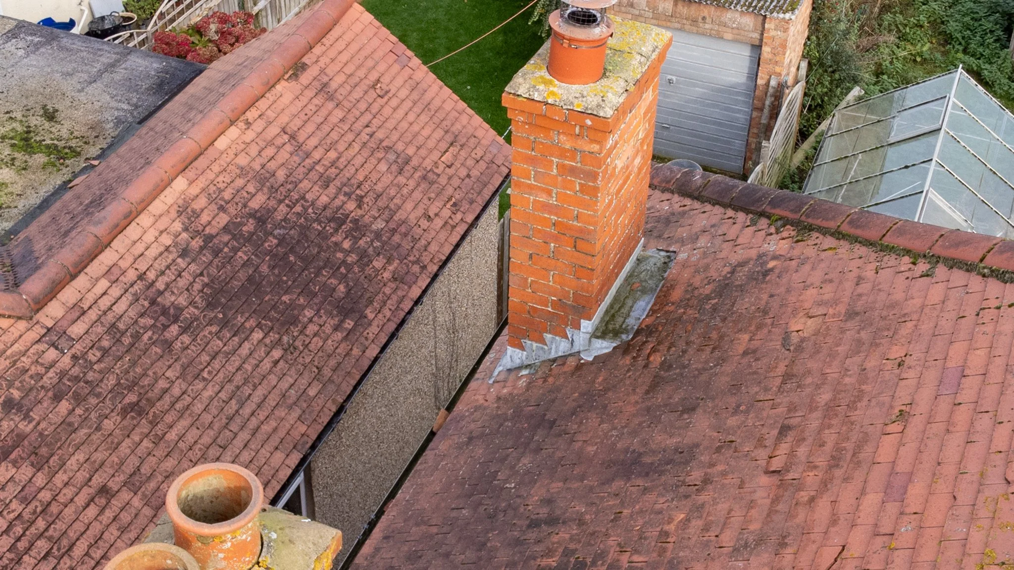
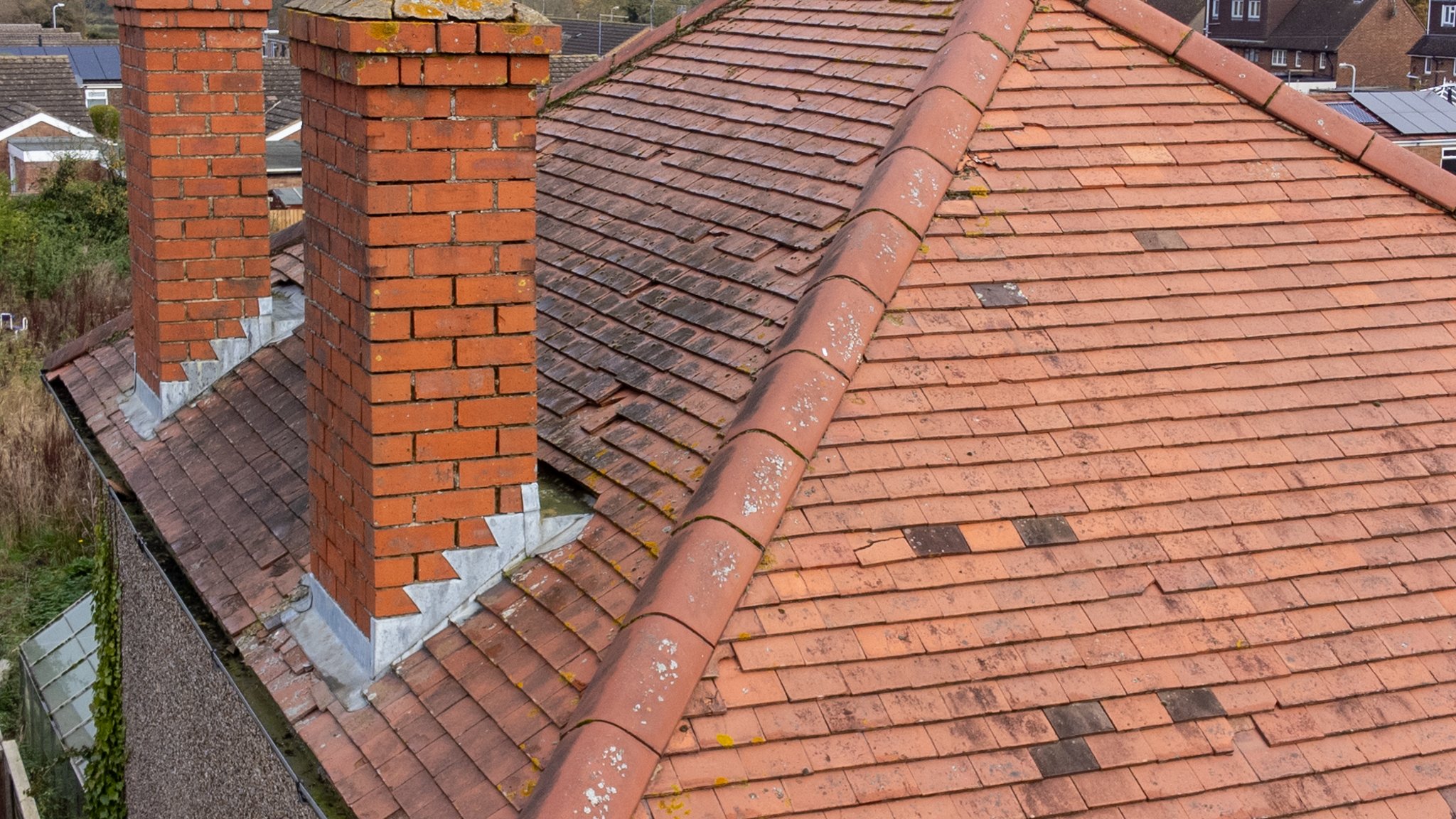
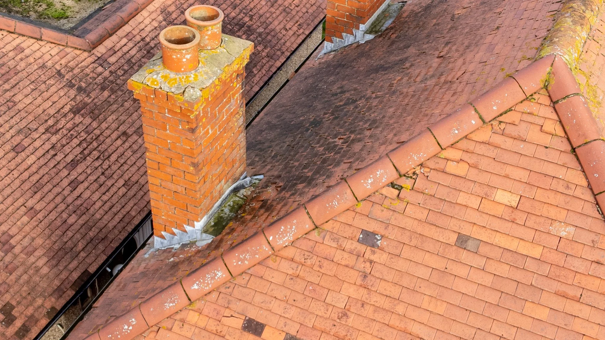
For this project we provided high resolution images to determine defects and remedial repairs required to a residential property, allowing our client to make an informed decision on a potential purchase.
Our drones are useful in situations such as these because access within the site was restricted by other means. We were also able to gain the images safely from the ground.
Our drone surveyors are fully trained and hold all the relevant licenses and insurances to undertake commercial drone work.
Measured Survey -
Industrial Site
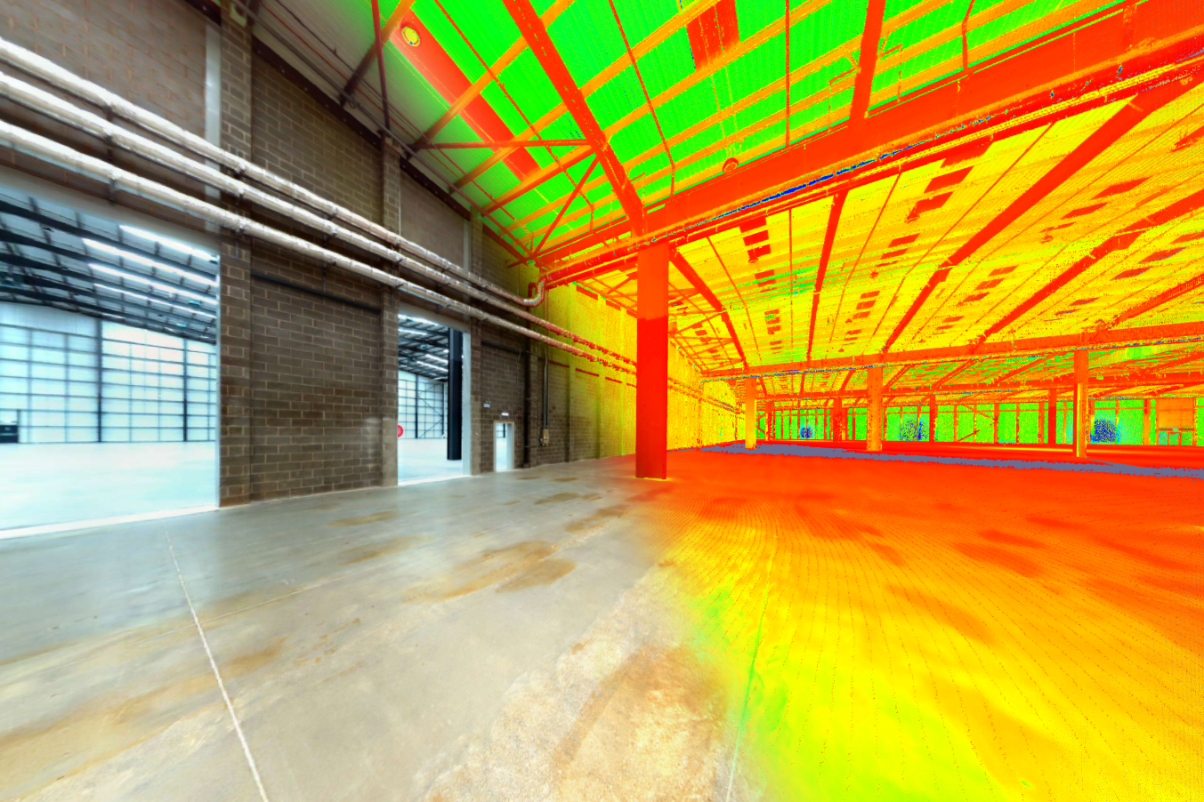
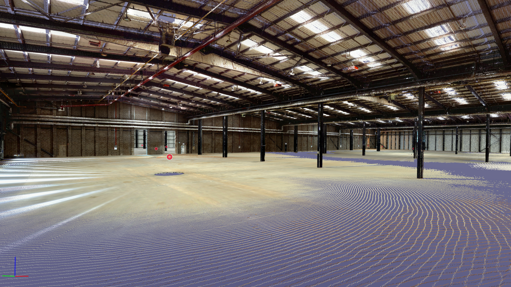
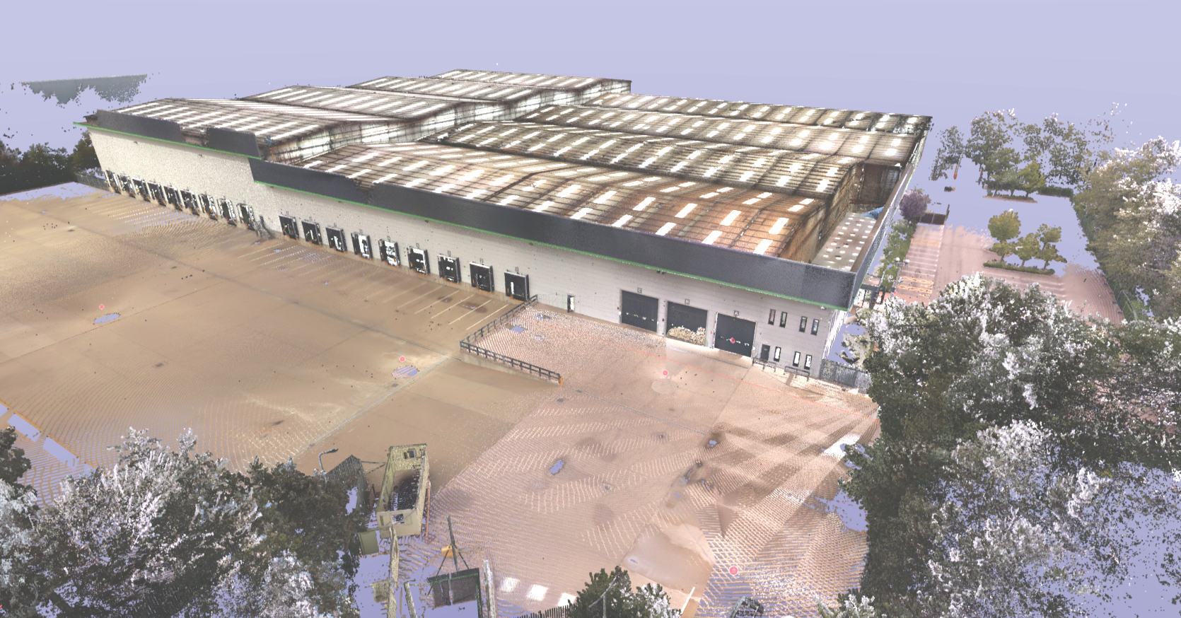
It is fair to say we love our laser scanners here at M3 Surveys. We love how they have developed over recent years, we love their current capabilities, we love them for their accuracy and we love the output in the form of pointclouds.
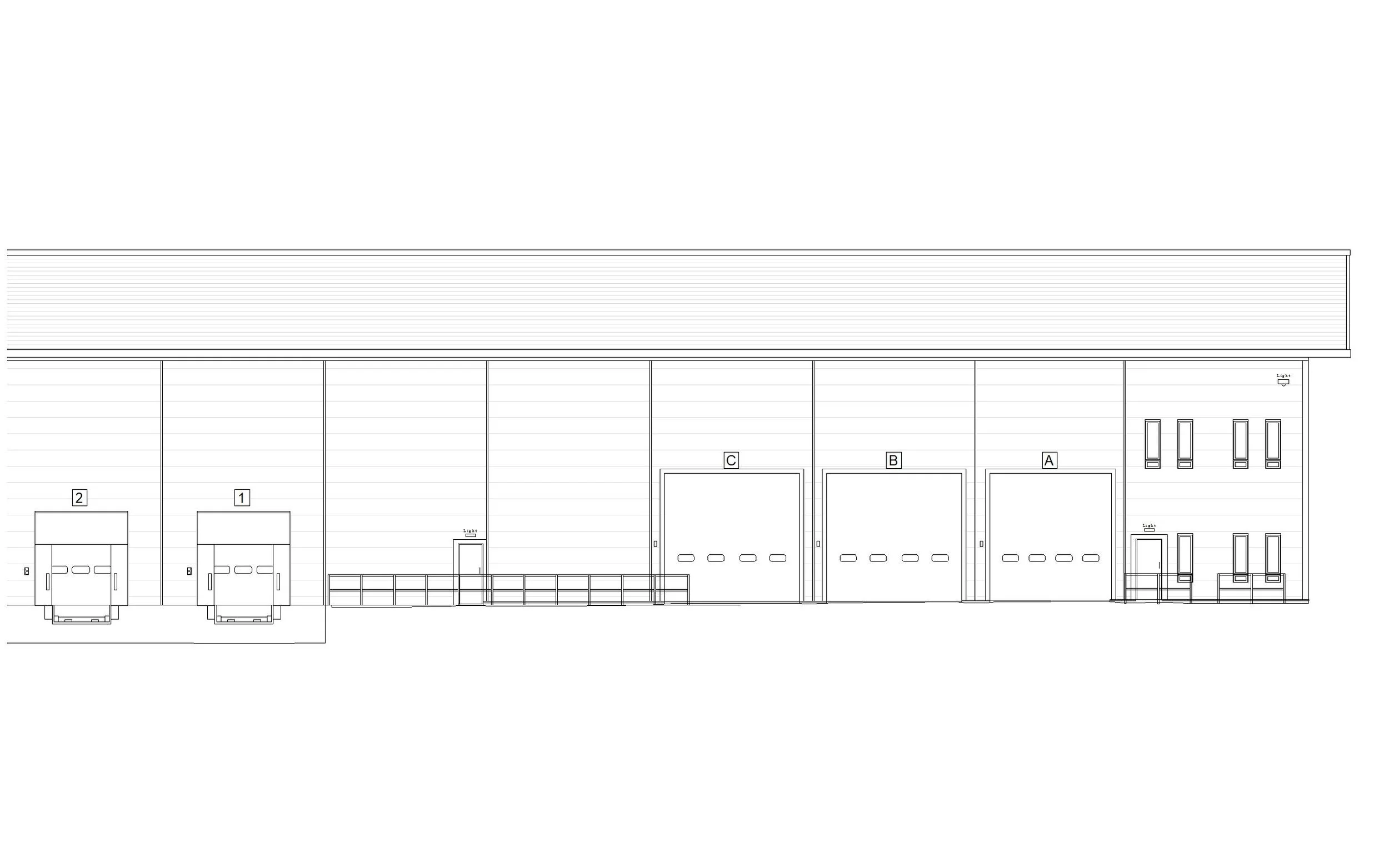
Here we used a 3D laser scanner to safely survey and record data at this large industrial property for the purposes of producing floorplans, elevations and sections.